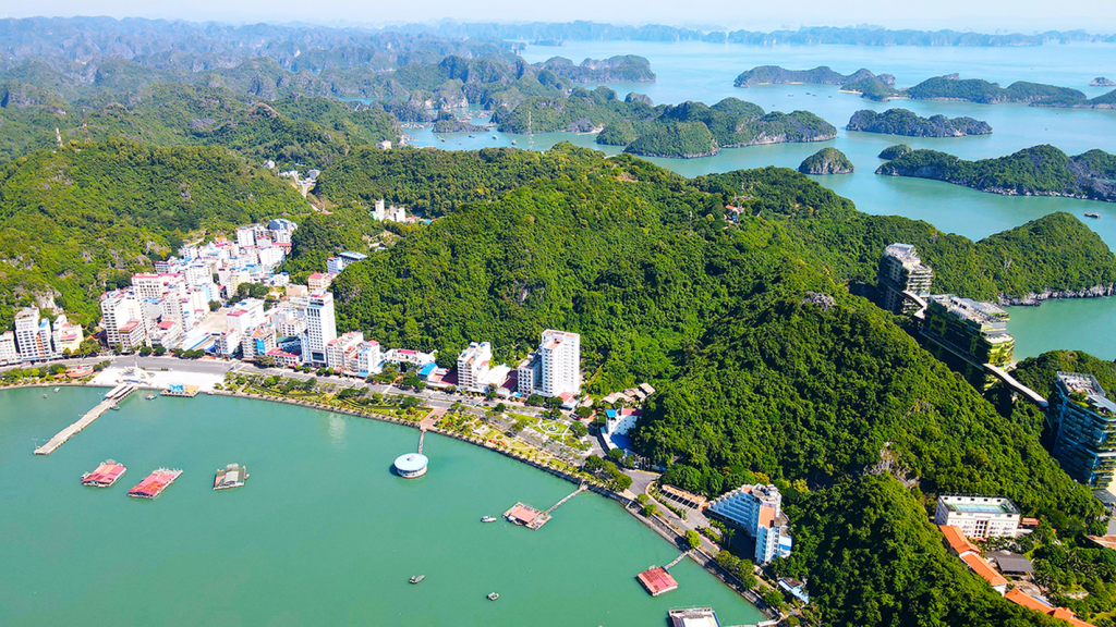
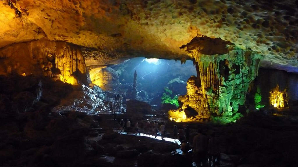
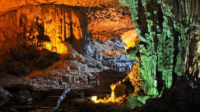
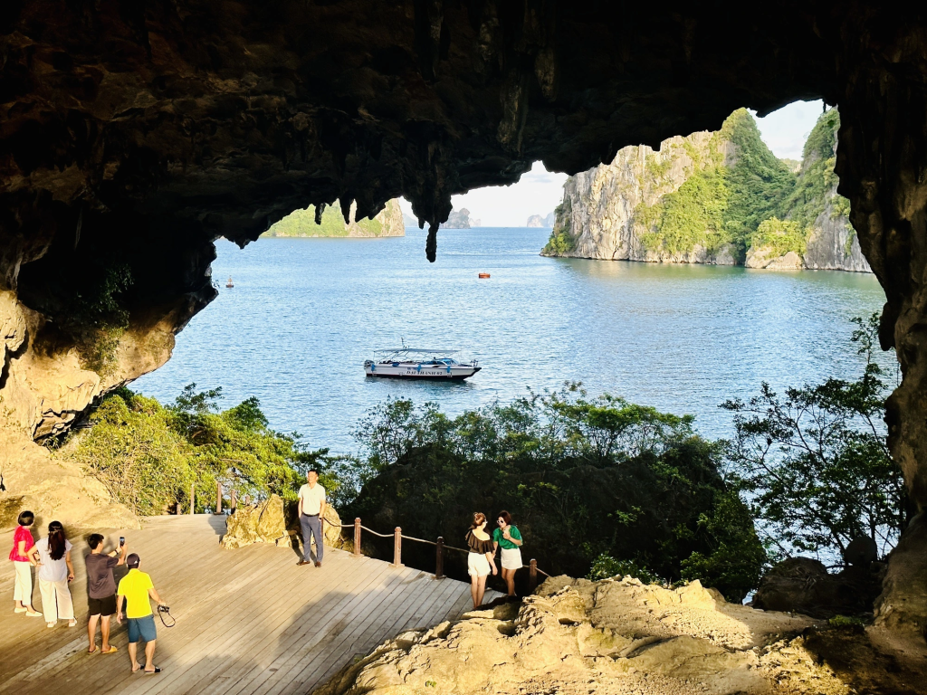
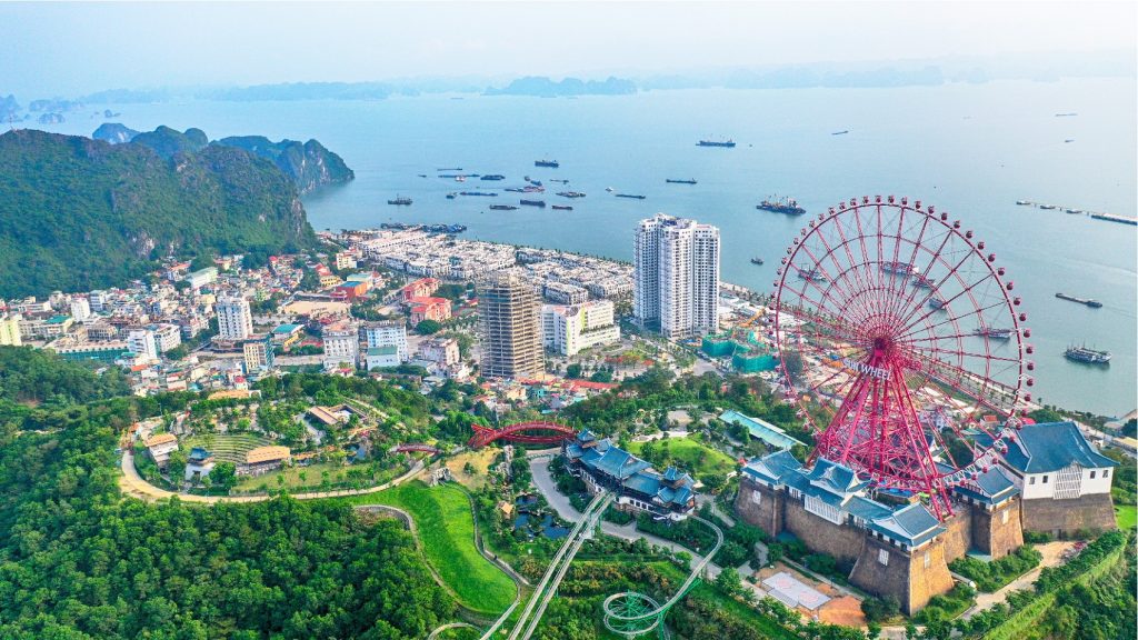
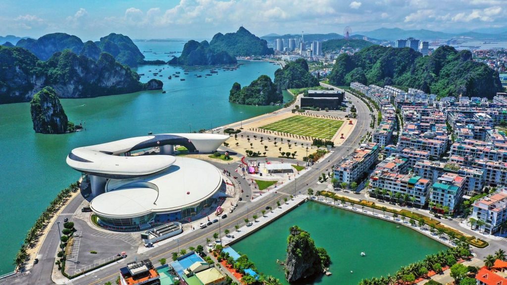
Quang Ninh province is a key economic center, a driving force of the northern key economic region. Quang Ninh has many economic zones, and Mong Cai Trade Center serves as a trade hub between Vietnam and China, as well as other countries in the region.
Quang Ninh possesses favorable conditions for socio-economic development, playing an important role in the process of industrialization and modernization of the country. The province is rich in mineral resources and materials for building production, providing supplies for domestic industries and exports, significantly contributing to economic development and GDP growth.
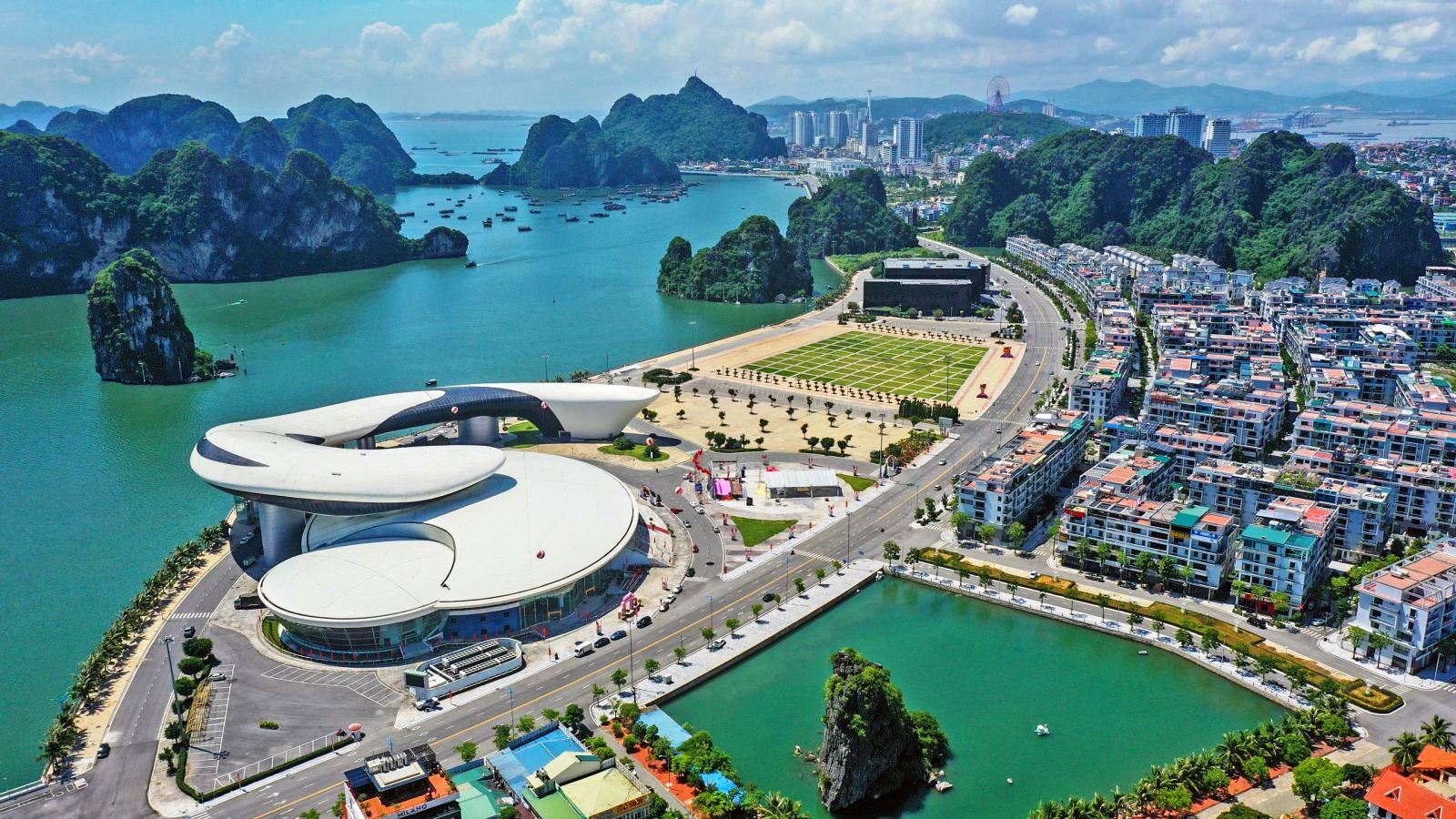
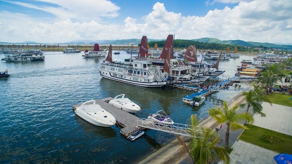
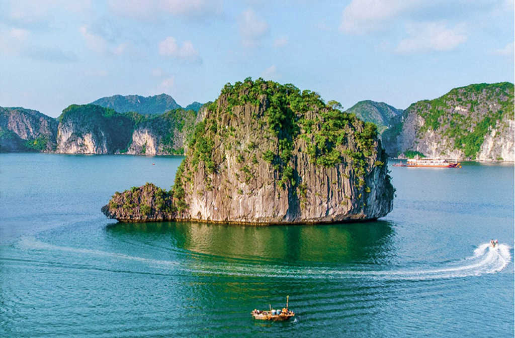
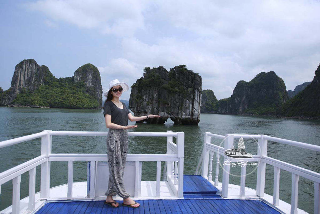
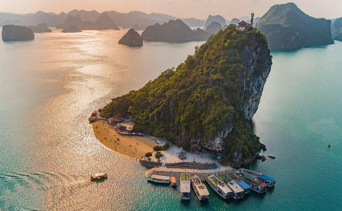
Quang Ninh is also a major tourist destination, forming one of the points of the northern Vietnam tourism growth triangle. Its famous landmark, Ha Long Bay, is recognized by UNESCO as a world natural heritage and a geological heritage. Ha Long Bay is the ideal tourist destination in Quang Ninh and northern Vietnam.
Van Don Internation Airport is the first private airport in Vietnam. If you want to visit the stunning tourist destinations in Quang Ninh quickly and efficiently, you can travel by air to Van Don Airport.
Quang Ninh Province
Geographical Location of Quang Ninh Province
Quang Ninh is a province located in the northeastern tip of Vietnam, bordered by mountains in the west and sloping down towards the northern part of the Gulf of Tonkin with a coastline marked by many river mouths.
Quang Ninh’s geographical coordinates range from 106°26′ to 108°31′ east longitude and from 20°40′ to 21°40′ north latitude. The widest part from east to west is 195km, and the longest part from north to south is about 102km. The northernmost point is in Mo Toong village, Hoanh Mo commune, Binh Lieu district, and the southernmost point is Ha Mai island in Ngoc Vung commune, Van Don district. The westernmost point is the Vang Chua River in Binh Duong and Nguyen Hue communes, Dong Trieu town. The easternmost point on land is Got Cape in the northeast of Tra Co commune, Mong Cai city.
Quang Ninh shares both land and maritime borders with the People’s Republic of China. On land, the northern part of the province (Binh Lieu, Hai Ha districts, and Mong Cai city) borders Guangxi province with 118.825 km of shared border; to the east is the Gulf of Tonkin; to the west, it borders Lang Son, Bac Giang, and Hai Duong provinces; to the south, it borders Hai Phong city. The coastline stretches for 250km.
The total natural area of Quang Ninh, as of October 1, 1998, was 611,081.3 hectares, including 243,833.2 hectares of agricultural land, 36,513 hectares of specialized land, 6,815.9 hectares of residential land, and 268,158.3 hectares of unused land.
Terrain of Quang Ninh Province
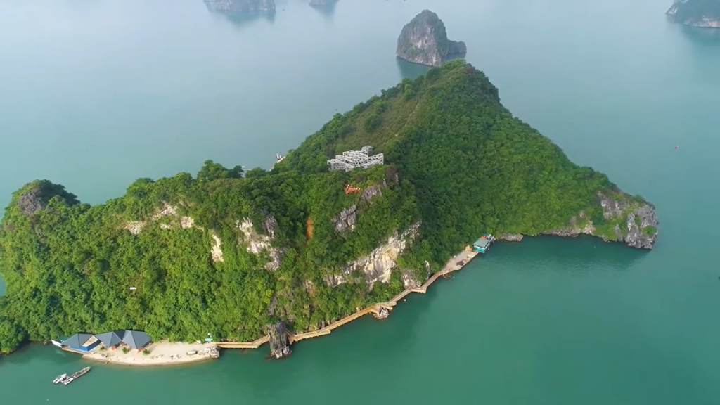
Quang Ninh is a mountainous and coastal province, with over 80% of its land area consisting of hills and mountains. More than 2,000 islands also rise above the sea surface, all of which are essentially mountains.
The mountainous region is divided into two parts: the eastern mountains, which extend from Tien Yen through Binh Lieu, Hai Ha, Dam Ha, to Mong Cai, are an extension of the Thap Van Dai Son mountain range from China. The dominant direction is northeast-southwest. The western mountains run from Tien Yen through Ba Che, Hoanh Bo, and the northern part of Uong Bi town, gradually descending to the north of Dong Trieu district.
Climate of Quang Ninh Province
Quang Ninh’s climate is representative of northern Vietnam’s climate, while also having characteristics unique to a mountainous coastal province. The archipelagos of Co To and Van Don exhibit a more oceanic climate.
Lying in a tropical climate zone, Quang Ninh experiences hot, humid summers with abundant rainfall and cold, dry winters. The tropical monsoon climate results in two distinct seasons: a hot, rainy summer and a cold, dry winter.
Rivers and Hydrology of Quang Ninh Province
Quang Ninh has around 30 rivers and streams longer than 10km, but most are small. The larger rivers include the lower section of the Thai Binh River, Ka Long River, Tien Yen River, and Ba Che River.
Land Use:
As of October 1, 1998, Quang Ninh’s total land area was 611,081.3 hectares. By December 31, 2017, this had increased to 617,821 hectares. Of this, 61,084 hectares were agricultural land (9.9%), 372,830 hectares were forestry land (60.3%), and 8,185 hectares were residential land (1.3%).
Population:
In 2011, Quang Ninh’s population reached nearly 1,163,700 people, with a density of 191 people/km². By 2017, the population had grown to 1,258,100 people, with 64.1% living in urban areas.
Ethnic Groups:
Quang Ninh is home to 22 ethnic groups, though only six have populations in the thousands, forming distinct communities with their own languages and cultural identities. The largest group is the Viet (Kinh), accounting for 89.23% of the total population.
Religion:
Buddhism arrived in Quang Ninh very early and remains the most practiced religion. The area is also home to Christian communities, with about 10,000 followers.
Creator: Gd Jpeg V1.0 (using Ijg Jpeg V62), Quality = 80
Tourist Attractions of Quang Ninh Province
- Quang Ninh Museum and Library
- Van Don Trading Port Historical Site
- Bai Tho Mountain Scenic Area
- Cua Ong Temple
- Yen Tu Heritage and Scenic Site
- Ha Long Bay – a UNESCO World Heritage Site
Read more about Quang Ninh provice at: https://en.wikipedia.org

